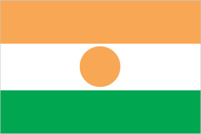
Niger
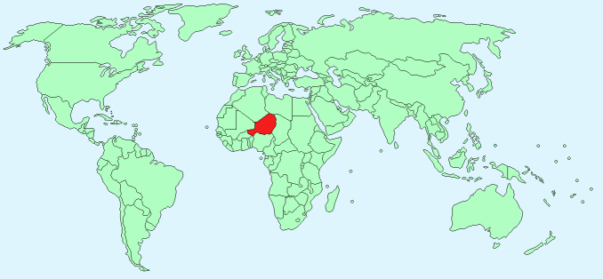
Continent – Africa
Region – Western Africa
Size – 1,266,700 km²
Geography – desert plains and sand dunes, hills in the north
Language – French (official), African dialects
Religion – Muslim 80%, other religions 20%
Monetary Unit – West African CFA franc
Natural Resources – uranium, coal, iron ore, tin, phosphates, gold, molybdenum, gypsum, salt, petroleum
Agriculture – cowpeas, cotton, peanuts, millet, sorghum, cassava (manioc, tapioca), rice; cattle, sheep, goats, camels, donkeys, horses, poultry
Industry – uranium mining, petroleum, cement, brick, soap, textiles, food processing, chemicals, slaughterhouses
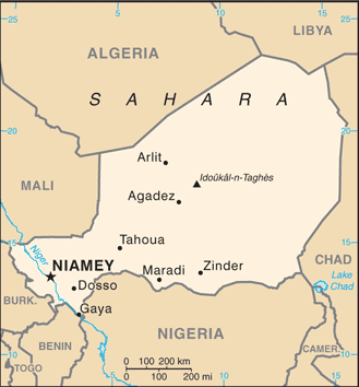
Neighbouring Countries – Mali, Algeria, Libya, Chad, Nigeria, Benin, Burkina Faso
Population – 18,045,729 (2015 estimate)
Population Growth Rate – 3.25%
Average Life Expectancy – 55.15
Capital City – Niamey (1,090,000)
Highest Mountain – Idoukal-n-Taghes (2,022 m)
Longest River – Niger – (total length 4,200 km in Guinea, Mali, Niger, Benin, Nigeria)
Climate – desert, hot – 32°C – 46°C all year
Yearly Rainfall – 85 cm (approx) mostly May to October and south west
Plant Life – cacti, palm, mahogany, shea, baobab, acacia, grasses
Animal Life – antelope, lion, waterbuck, leopard, hyena, monkey, wart hog, crocodile, hippopotamus, turtles, lizards, pythons, vipers
Bird Life – ducks, bustard, guinea fowl, quail, pigeon, teal, sandpiper, peetweet, godwit, and woodcock, pelican, marabou, ibis, egret, heron, eagle, and vulture
Harvard Reference for this page:
Heather Y Wheeler. (2015). Niger. Available: https://www.naturalhistoryonthenet.com/Facts_Figures/Country_Facts/niger.htm. Last accessed Tuesday, July 19, 2016
Facts and Figures Pages