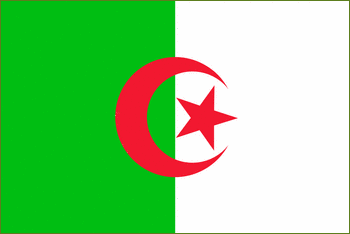
Algeria


Continent – Africa
Region – Northern Africa
Size – 2,381,741 km²
Geography – North coastal region mountainous, rest is desert
Language – Arabic, French, Berber
Religion – 99% Islam, 1% Jewish and Christian
Monetary Unit – Dinar
Natural Resources – Natural gas, petroleum, iron ore, phosphates, uranium, lead, zinc
Agriculture – wheat, barley, oats, grapes, olives, citrus, fruits; sheep, cattle
Industry – petroleum, natural gas, light industries, mining, electrical, petrochemical, food processing

Neighbouring Countries – Morocco, Tunisia, Libya, Niger, Mali, Mauritania, Western Sahara
Population – 33,333,216 (2007)
Population Growth Rate – 1.2%
Average Life Expectancy – 73.5
Capital City – Algiers (population 1,742,800)
Highest Mountain – Tahat (3,003 m)
Longest River – Cheliff (679 km)
Climate – Coastal – cool winters 6°C to 14°C and hot, dry summers 16°C to 38°C – Desert region – hot summers 22°C to 50°C, mild winters 8°C to 22°C
Yearly Rainfall – Coastal region 60 cm approx, desert region minimal
Plant Life – Mountain Regions – oak, conifer and juniper trees; Coastal Regions – scrub land with evergreen hard-leaved shrubs and low trees including laurel, rosemary, thyme, gorse, lavender and sage; Desert Region – grass covered steppe
Animal Life – Mountain Regions – mouflon, Barbary deer, wild boar, and Barbary ape; Desert Region – gazelle, fennec, hyena, and jackal, locust, scorpion
Harvard Reference for this page:
Heather Y Wheeler. (2015). Algeria. Available: https://www.naturalhistoryonthenet.com/Facts_Figures/Country_Facts/algeria.htm. Last accessed Monday, July 18, 2016
Facts and Figures Pages
