Mali
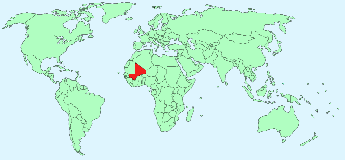
Continent – Africa
Region – Western Africa
Size – 1,240,192 km²
Geography – mostly flat with some hills in the north east
Language – French (official), Bambara, African dialects
Religion – Muslim 94.8%, Christian 2.4%, Animist 2%, other 0.8%
Monetary Unit – West African CFA franc
Natural Resources – gold, phosphates, kaolin, salt, limestone, uranium, gypsum, granite, hydropower
Agriculture – cotton, millet, rice, corn, vegetables, peanuts; cattle, sheep, goats
Industry – food processing; construction; phosphate and gold mining
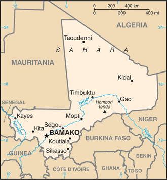
Neighbouring Countries – Algeria, Mauritania, Senegal, Guinea, Cote D’Ivoire, Burkina Faso, Niger
Population – 16,455,903 (2014 estimate)
Population Growth Rate – 3%
Average Life Expectancy – 54.95
Capital City – Bamako (2, 386,000)
Highest Mountain – Hombori Tondo (1,115 m)
Longest River – Niger (total length 4200 km)
Climate – tropical – 24°C – 32°C all year
Yearly Rainfall – South – 140 cm (approx) mostly June to October, North 12cm (approx)
Plant Life – thorny plants, mimosa, gum tree, mahogany, shea, kapok, baobab
Animal Life – cheetah, dorca, wild sheep, gazelle, giraffe, wart hog, ostrich, bustard, red monkey, lion, jackal, fox, hyena, antelope, buffalo, elephant, hare
Bird Life – ducks, bustard, guinea fowl, quail, pigeon, teal, sandpiper, peetweet, godwit, and woodcock, pelican, marabou, ibis, egret, heron, eagle, and vulture
Harvard Reference for this page:
Heather Y Wheeler. (2015). Mali. Available: https://www.naturalhistoryonthenet.com/Facts_Figures/Country_Facts/mali.htm. Last accessed Tuesday, July 19, 2016
Facts and Figures Pages