Burkina Faso
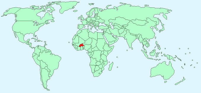
Continent – Africa
Region – Western Africa
Size – 274,200 km²
Geography – Mostly flat, some hills to west and south-east
Language – French (official), Sudanic African spoken
Religion – 50% Islam, 40% tribal religions, 10% Christian
Monetary Unit – W African CFA Franc
Natural Resources – manganese, limestone, marble; small deposits of gold, phosphates, pumice, salt
Agriculture – cotton, peanuts, shea nuts, sesame, sorghum, millet, corn, rice; livestock
Industry – cotton lint, beverages, agricultural processing, soap, cigarettes, textiles, gold
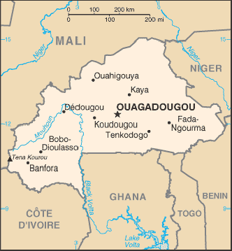
Neighbouring Countries – Mali, Niger, Benin, Togo, Ghana, Cote d’Ivoire
Population – 18,365,123 (2014 estimate)
Population Growth Rate – 2.99%
Average Life Expectancy – 49.21
Capital City – Ouagadougou (population 1,626,950 estimated)
Highest Mountain – Tena Kourou (749 m)
Longest River – Mouhoun (Black Volta)
Climate – Hot, wet summers – 22°C to 40°C, warm, dry winters – 16°C to 32°C
Yearly Rainfall – 90 cm (approx)
Plant Life – Grasses, small trees
Animal Life – elephant, hippopotamus, buffalo, monkey, crocodile, giraffe, antelope
Harvard Reference for this page:
Heather Y Wheeler. (2015). Burkina Faso. Available: https://www.naturalhistoryonthenet.com/Facts_Figures/Country_Facts/burkinafaso.htm. Last accessed Monday, July 18, 2016
Facts and Figures Pages