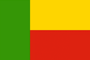
Benin
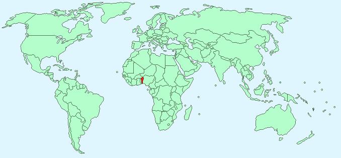
Continent – Africa
Region – Western Africa
Size – 112,620 km²
Geography – Mostly flat with some hills
Language – French, Fon, Yoruba, other tribal languages
Religion – 42.8% Christian, 24.4% Islam, 17.3% Vodoun, 15.5% other
Monetary Unit – CFA Franc
Natural Resources – cotton, corn, cassava (tapioca), yams, beans, palm oil, peanuts, cashews; livestock
Agriculture – bananas, cacao, citrus, sugar; fish, cultured shrimp; lumber; garments
Industry – textiles, food processing, construction materials, cement
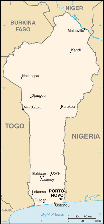
Neighbouring Countries – Niger, Nigeria, Togo, Burkina Faso
Population – 10,160,556 (2014)
Population Growth Rate – 2.67%
Average Life Expectancy – 53.4
Capital City – Porto Novo (population 267,191)
Most Populated City – Cotonou (population 779,314)
Highest Mountain – No mountains – highest point (Mont 658 m)
Longest River – Oueme (500 km )
Climate – Constant hot temperatures all year 21°C to 35°C humid south, arid north
Yearly Rainfall – 120 cm approx
Plant Life – palm, coconut, kapok, mahogany, ebony, grass,
Animal Life – elephants, leopards, lions, antelope, monkeys, wild pigs, crocodiles, buffalo, snakes
Bird Life – guinea fowl, wild duck, partridge, tropical birds
Harvard Reference for this page:
Heather Y Wheeler. (2015). Beniin. Available: https://www.naturalhistoryonthenet.com/Facts_Figures/Country_Facts/benin.htm. Last accessed Monday, July 18, 2016
Facts and Figures Pages