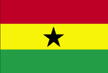
Ghana
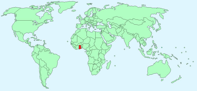
Continent – Africa
Region – Western Africa
Size – 238,533 km²
Geography – low plains
Language – English, African dialects
Religion – 53% Protestant, 15% Roman Catholic, 16% Muslim, 16% other
Monetary Unit – Cedi
Natural Resources – gold, timber, industrial diamonds, bauxite, manganese, fish, rubber, hydropower, petroleum, silver, salt, limestone
Agriculture – cocoa, rice, cassava (tapioca), peanuts, corn, shea nuts, bananas; timber
Industry – mining, lumbering, light manufacturing, aluminum smelting, food processing, cement, small commercial ship building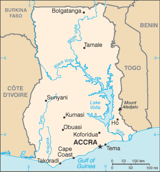
Neighbouring Countries – Cote d’Ivoire, Burkina Faso, Togo
Population – 25,758,108 (2014 estimate)
Population Growth Rate – 2.19%
Average Life Expectancy – 60.75
Capital City – Accra (2,291,352)
Highest Mountain – Mount Afadjato (855 m)
Longest River – Volta – man-made (1,600 km)
Climate – Tropical – hot temperatures 23°C to 31°C
Yearly Rainfall – 72 cm (approx) mostly in May and June
Plant Life – African mahogany, cedar or giant cotton plant, savannah grassland and shrubs
Animal Life – antelope, leopard, chimpanzee, lion, baboon, monkey
Bird Life -parrot, hornbill, vulture, eagle, kingfisher, woodpecker
Harvard Reference for this page:
Heather Y Wheeler. (2015). Ghana. Available: https://www.naturalhistoryonthenet.com/Facts_Figures/Country_Facts/ghana.htm. Last accessed Monday, July 18, 2016
Facts and Figures Pages