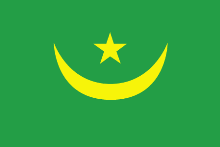
Mauritania
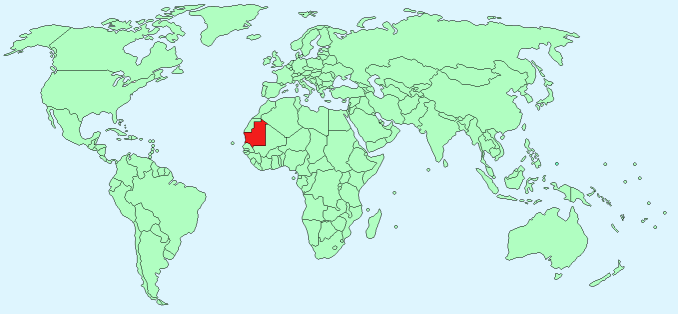
Continent – Africa
Region – Western Africa
Size – 1,030,700 km²
Geography – mostly flat plains with some hills
Language – Arabic (official), African dialects
Religion – Muslim (official)
Monetary Unit – Mauritanian ouguiya
Natural Resources – iron ore, gypsum, copper, phosphate, diamonds, gold, oil, fish
Agriculture – dates, millet, sorghum, rice, corn; cattle, sheep
Industry – fish processing, oil production, mining for iron ore, gold, copper

Neighbouring Countries – Western Sahara, Algeria, Mali, Senegal
Population – 3,516,806 (2014 estimate)
Population Growth Rate – 2.26%
Average Life Expectancy – 62.28
Capital City – Nouakchott (945,000)
Highest Mountain – Kediet Ijill (915 m)
Longest River – Senegal – forms border with Senegal (total length 1700 km)
Climate – desert, hot – 32°C – 46°C all year, coastal region cooler average 24°C – 35°C
Yearly Rainfall – Senegal Valley – 65 cm (approx) mostly June to October, South 5cm (approx)
Plant Life – cacti, palm, (south) – baobab, acacia, grasses
Animal Life – antelopes, wild sheep, ostriches (south) lion, panther, jackal, crocodile, hippopotamus, hyena, cheetah, otter, monkey
Bird Life – ducks, bustard, guinea fowl, quail, pigeon, teal, sandpiper, peetweet, godwit, and woodcock, pelican, marabou, ibis, egret, heron, eagle, and vulture
Harvard Reference for this page:
Heather Y Wheeler. (2015). Mauritania. Available: https://www.naturalhistoryonthenet.com/Facts_Figures/Country_Facts/mauritania.htm. Last accessed Tuesday, July 19, 2016
Facts and Figures Pages