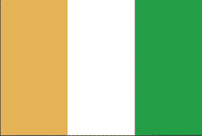
Cote d’Ivoire (Ivory Coast)
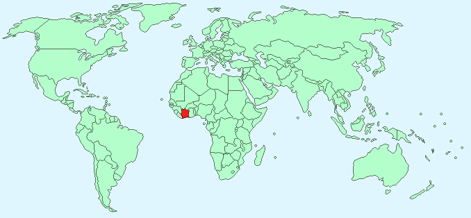
Continent – Africa
Region – Western Africa
Size – 322,460 km²
Geography – mostly flat plains, mountains in north-west
Language – French, native dialects
Religion – 40% Muslim, 30% Christian, 30% Indigenous beliefs
Monetary Unit – Central African Franc
Natural Resources – petroleum, natural gas, diamonds, manganese, iron ore, cobalt, bauxite, copper, gold, nickel, tantalum, silica sand, clay, cocoa beans, coffee, palm oil, hydropower
Agriculture – coffee, cocoa beans, bananas, palm kernels, corn, rice, manioc (tapioca), sweet potatoes, sugar, cotton, rubber; timber
Industry – foodstuffs, beverages; wood products, oil refining, truck and bus assembly, textiles, fertilizer, building materials, electricity, ship construction and repair
Neighbouring Countries – Liberia, Guinea, Mali, Burkina Faso, Ghana
Population – 22,848,945 (2014 estimate)
Population Growth Rate – 1.99%
Average Life Expectancy – 49.0
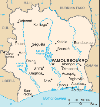
Capital City – Yamoussoukro (200,659)
Largest City – Abidjan (4,476,397)
Highest Mountain – Mont Nimba (1752 m)
Longest River – Bandama (800 km)
Climate – Tropical, hot in coastal regions 22°C to 32°C semi-arid in north 20°C to 36°C
Yearly Rainfall – coastal regions 200 cm (approx) mostly May to July and October to November, northern region 120cm (approx) mostly May to October
Plant Life – tropical forests and savannas, oil palm, acacia, breadfruit, baobab
Animal Life – jackal, hyena, panther, elephant, hippopotamus, monkeys, snakes, crocodiles, chameleons, scorpion, spiders
Bird Life – vultures, cranes, pigeons, turtle doves, parrots, and herons
Harvard Reference for this page:
Heather Y Wheeler. (2015). Cote D’Ivoire (Ivory Coast). Available: https://www.naturalhistoryonthenet.com/Facts_Figures/Country_Facts/cote_divoire.htm. Last accessed Monday, July 18, 201
Facts and Figures Pages