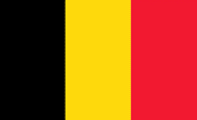
Belgium
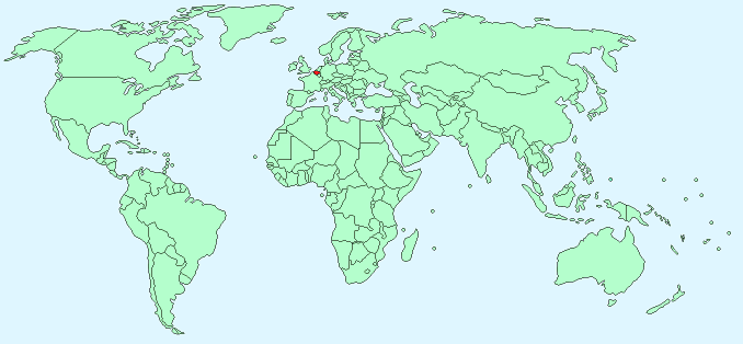
Continent – Europe
Region – Western Europe, EU member
Size – 30,528 km²
Geography – Mostly flat with central hills
Language – Dutch, French, German
Religion – 75% Roman Catholic, 25% Protestant
Monetary Unit – Euro
Natural Resources – construction materials, silica sand, carbonates
Agriculture – sugar beets, fresh vegetables, fruits, grain, tobacco; beef, veal, pork, milk
Industry – engineering and metal products, motor vehicle assembly, transportation equipment, scientific instruments, processed food and beverages, chemicals, basic metals, textiles, glass, petroleum
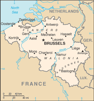
Neighbouring Countries – Netherlands, Germany, Luxembourg, France
Population – 10,449,361 (2014)
Population Growth Rate – 0.12%
Average Life Expectancy – 78.92
Capital City – Brussels (population 1,138,854)
Highest Mountain – No mountains – highest point Signal de Botrange (694 m)
Longest River – Scheldt (200 km )
Climate – warm, wet summers 12°C to 24°C, cool winters -1°C to 10°C
Yearly Rainfall – 85 cm approx
Plant Life – beech, oak, digitalis (foxglove), wild arum, hyacinth, strawberry, goldenrod, lily of the valley
Animal Life – boar, fox, badger, squirrel, weasel, marten, and hedgehog
Aquatic Life – pike, carp, trout, eel, barbel, perch, smelt, chub, roach, bream, shad, sole, mussels, crayfish, shrimp
Harvard Reference for this page:
Heather Y Wheeler. (2015). Belgium. Available: https://www.naturalhistoryonthenet.com/Facts_Figures/Country_Facts/belgium.htm. Last accessed Monday, July 18, 2016
Facts and Figures Pages