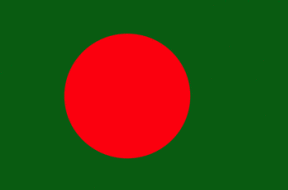
Bangladesh
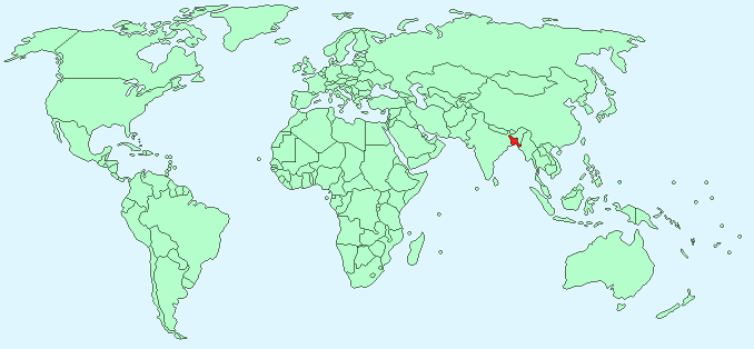
Continent – Asia
Region – Southern Asia
Size – 144,000 km²
Geography – Mostly flat plain, hills to south-east
Language – Bengali, English
Religion – 83% Islam, 16% Hindu
Monetary Unit – Taka
Natural Resources – natural gas, arable land, timber, coal
Agriculture – rice, jute, tea, wheat, sugarcane, potatoes, tobacco, pulses, oilseeds, spices, fruit; beef, milk, poultry
Industry – cotton textiles, jute, garments, tea processing, paper newsprint, cement, chemical fertilizer, light engineering, sugar
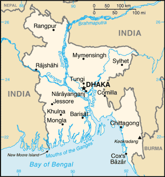
Neighbouring Countries – India, Mynamar (Burma)
Population – 166,280,712 (2014)
Population Growth Rate – 2.0%
Average Life Expectancy – 62.8
Capital City – Dhaka (population 14,399,000)
Highest Mountain -Keokradong (1,230 m)
Longest River – Surma-Meghna (669 km)
Climate – Hot, humid summers 25°C to 34°C, mild winters 12°C to 28°C, monsoon season June – October
Yearly Rainfall – 178 cm approx November to April
Plant Life – 6000+ plant species including grass, palm, rice paddy, jute, bamboo, banana, fruit trees, jasmine, water lily, rose, hibiscus, bougainvillea, magnolia, orchid
Animal Life – 200+ mammal species including Royal Bengal tiger, elephant, bear, deer, leopard, mongoose, jackal, rhesus monkey, buffalo, ox and gayal. 150+ reptile species including sea turtle, river tortoise, mud turtle, crocodile, gavial, python, krait and cobra
Bird Life – 350+ resident species including bulbul, magpie, robin, common game birds, cuckoo, hawk, owl, crow, kingfisher, woodpecker, parrot, myna, duck
Aquatic Life – 200+ species including prawn, lobster
Harvard Reference for this page:
Heather Y Wheeler. (2015). Bangladesh. Available: https://www.naturalhistoryonthenet.com/Facts_Figures/Country_Facts/bangladesh.htm. Last accessed Monday, July 18, 2016
Facts and Figures Pages