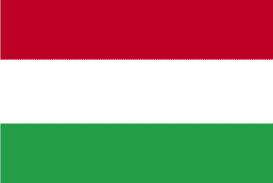
Hungary
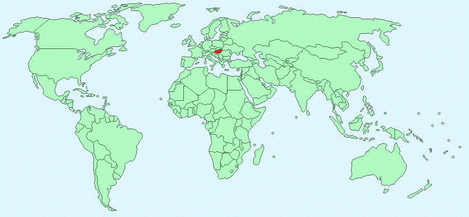
Continent – Europe
Region – Central Europe
Size – 93,028km²
Geography – mostly flat to rolling plains; hills and low mountains on the Slovakian border
Language – Hungarian 93.6%, other 6.4%
Religion -Roman Catholic 51.9%, Calvinist 15.9%, Lutheran 3%, Greek Catholic 2.6%, other Christian 1%, other or unspecified 25.6%
Monetary Unit – Forint
Natural Resources – bauxite, coal, natural gas, fertile soils, arable land
Agriculture – wheat, corn, sunflower seed, potatoes, sugar beets; pigs, cattle, poultry, dairy products
Industry – mining, metallurgy, construction materials, processed foods, textiles, chemicals, motor vehicles
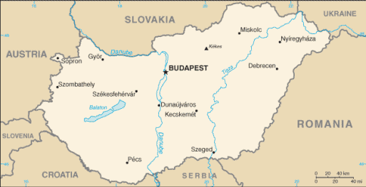
Neighbouring Countries – Austria, Croatia, Romania, Serbia, Slovakia, Slovenia, Ukraine
Population – 9,919,128 (2014 estimate)
Population Growth Rate – -0.21%
Average Life Expectancy – 75.46
Capital City -Budapest (1,737,000)
Highest Mountain – Kekes (1,014m)
Longest River – Tisza (596km)
Climate – Continental – cold winters – -14°C to 0°C, warm summers – 16°C to 36°C
Yearly Rainfall – 63 cm (approx)
Plant Life – oak, conifers and more than 2000 plant species
Animal Life – deer, boar, hare, foxes and mouflon
Bird Life – variety of birds and game birds
Harvard Reference for this page:
Heather Y Wheeler. (2015). Hungary. Available: https://www.naturalhistoryonthenet.com/Facts_Figures/Country_Facts/hungary.htm. Last accessed Monday, July 18, 2016
Facts and Figures Pages