Guatemala
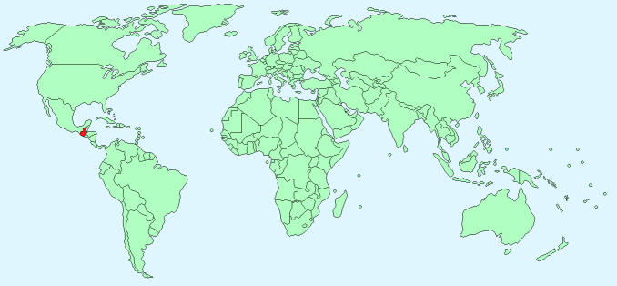
Continent – North America
Region – Central America
Size – 108,889 km²
Geography – mostly mountains with narrow coastal plains
Language – Spanish 60%, Amerindian 40%
Religion – Roman Catholic, Protestant, indigenous Mayan beliefs
Monetary Unit – Quetzal
Natural Resources – petroleum, nickel, rare woods, fish, chicle, hydropower
Agriculture – sugarcane, corn, bananas, coffee, beans, cardamom; cattle, sheep, pigs, chickens
Industry – sugar, textiles and clothing, furniture, chemicals, petroleum, metals, rubber, tourism
Neighbouring Countries – Mexico, Belize, El Salvador, Honduras
Population – 14,647,083 (2014 estimate)
Population Growth Rate – 1.86%
Average Life Expectancy – 71.74
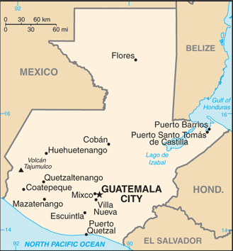
Capital City – Guatemala City (2,110,100)
Highest Mountain – Volcan Tajumulco (4211 m)
Longest River – Montagua (400 km)
Climate – Tropical – Coastal 25°C to 30°C, highlands 20°C
Yearly Rainfall – North 177 cm (approx) South 508cm (approx)
Plant Life – many plants and flowers, especially the orchid family
Animal Life – armadillo, bear, coyote, deer, fox, jaguar, monkey, puma, tapir, and manatee. 204 species, include the bushmaster, fer-de-lance, water moccasin, and iguana.
Bird Life – quetzal, Atitlán (giant piedbilled) grebe and more than 900 other species of native birds
Harvard Reference for this page:
Heather Y Wheeler. (2015). Guatemala. Available: https://www.naturalhistoryonthenet.com/Facts_Figures/Country_Facts/guatemala.htm. Last accessed Monday, July 18, 2016
Facts and Figures Pages