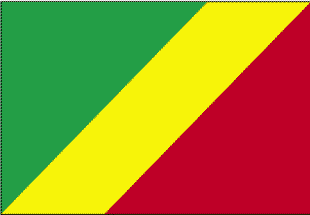
Republic of the Congo
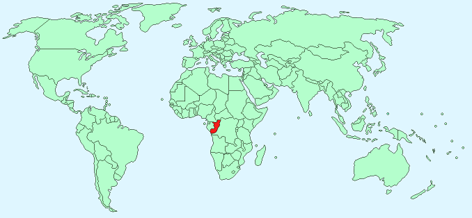
Continent – Africa
Region – Central Africa
Size – 342,000 km²
Geography – coastal plain, central plateau, northern and southern basin
Language – French, Lingala, Monokutuba Kikongo
Religion – 50% Christian, 48% Animist, 2% Muslim
Monetary Unit – Central African Franc
Natural Resources – petroleum, timber, potash, lead, zinc, uranium, copper, phosphates, gold, magnesium, natural gas, hydropower
Agriculture – cassava (tapioca), sugar, rice, corn, peanuts, vegetables, coffee, cocoa; forest products
Industry – petroleum extraction, cement, lumber, brewing, sugar, palm oil, soap, flour, cigarettes
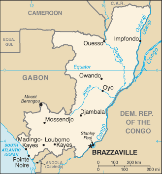
Neighbouring Countries – Democratic Republic of the Congo, Angola, Gabon, Cameroon, Central African Republic
Population – 4,662,446 (2014 estimate)
Population Growth Rate – 2.63%
Average Life Expectancy – 53.2
Capital City – Brazzaville (1,307,911)
Highest Mountain – Mount Berongou (903 m)
Longest River – Congo (4,700 km [total length])
Climate – Tropical, hot and wet 17°C to 33°C
Yearly Rainfall – equatorial regions 140 cm (approx) mostly October to May
Plant Life – Typical rainforest trees including okoumé and limba, savanna grasses
Animal Life – jackal, hyena, cheetah, antelope; elephant, wild boar, giraffe, monkeys
Harvard Reference for this page:
Heather Y Wheeler. (2015). Congo. Available: https://www.naturalhistoryonthenet.com/Facts_Figures/Country_Facts/congo.htm. Last accessed Monday, July 18, 2016
Facts and Figures Pages