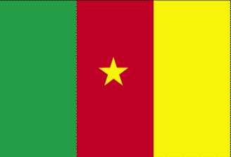
Cameroon
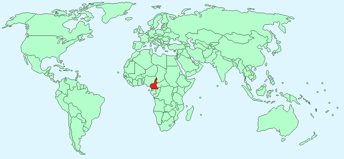
Continent – Africa
Region – Central Africa
Size – 475,440 km²
Geography – Mostly flat plains, mountains in west, central plateau
Language – English & French (official), 24 African languages
Religion – 40% tribal religions, 40% Christian, 20% Muslim
Monetary Unit – Central African CFA Franc
Natural Resources – petroleum, bauxite, iron ore, timber
Agriculture – coffee, cocoa, cotton, rubber, bananas, oilseed, grains, root starches; livestock; timber
Industry – petroleum production and refining, aluminum production, food processing, light consumer goods, textiles, lumber, ship repair
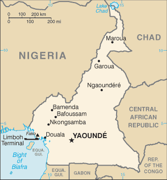
Neighbouring Countries – Nigeria, Chad, Central African Republic, Republic of the Congo, Gabon, Equatorial Guinea
Population – 23,130,708 (2007 estimate)
Population Growth Rate – 2.24%
Average Life Expectancy – 52.86
Capital City – Yaounde (population 2,440,462)
Largest City – Douala (population 2,446,945)
Highest Mountain – Fako (4,095 m)
Longest River – Sanaga (890km)
Climate – South – tropical – 18°C to 29°C, North – semi-arid – 16°C to 38°C
Yearly Rainfall – South -155cm (approx), North – 87cm (approx) May – September
Plant Life – rainforest, woodland, savannah grasses
Animal Life – buffalo, elephant, hippopotamus, antelope, Derby eland, kudu, primates
Harvard Reference for this page:
Heather Y Wheeler. (2015). Cameroon. Available: https://www.naturalhistoryonthenet.com/Facts_Figures/Country_Facts/cameroon.htm. Last accessed Monday, July 18, 2016
Facts and Figures Pages