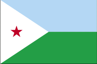
Dijibouti
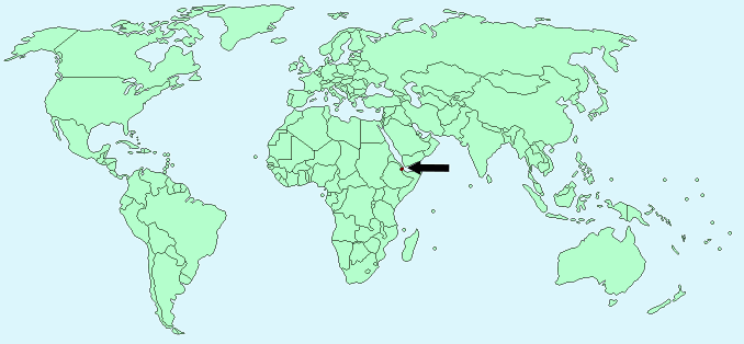
Continent – Africa
Region – Eastern Africa
Size – 23,000 km²
Geography – coastal plain and plateau, central mountains
Language – French, Arabic, Somali
Religion – 94% Muslim, 6% Christian
Monetary Unit – Franc
Natural Resources – geothermal areas, gold, clay, granite, limestone, marble, salt, diatomite, gypsum, pumice, petroleum
Agriculture – fruits, vegetables; goats, sheep, camels, animal hides
Industry – construction, agricultural processing
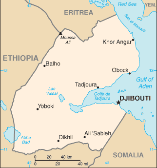
Neighbouring Countries – Eritrea, Ethiopia, Somalia
Population – 810,179 (2014 estimate)
Population Growth Rate – 2.23%
Average Life Expectancy – 62.4
Capital City – Dijibouti (496,000)
Highest Mountain – Moussa Ali (2,028m)
Longest River – no major rivers
Climate – desert, hot, dry 20°C to 42°C
Yearly Rainfall – 5 cm (approx)
Plant Life – juniper, acacias, wild olive, thorn scrubs, palm trees
Animal Life – antelopes, gazelles, hyenas, jackals
Harvard Reference for this page:
Heather Y Wheeler. (2015). Dijibouti. Available: https://www.naturalhistoryonthenet.com/Facts_Figures/Country_Facts/dijibouti.htm. Last accessed Monday, July 18, 2016
Facts and Figures Pages