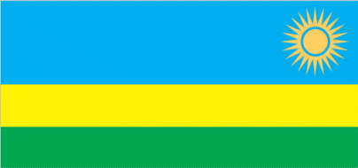
Rwanda
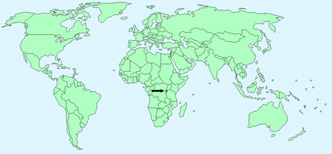
Continent – Africa
Region – Eastern Africa
Size – 26,338 km²
Geography – hills and mountains
Language – Kinyarwanda, French and English are official languages
Religion – Roman Catholic 49.5%, Protestant 39.4%, other Christian 4.5%, Muslim 1.8%, other 4.8%
Monetary Unit – Rwandan franc
Natural Resources – gold, cassiterite (tin ore), wolframite (tungsten ore), methane, hydropower, arable land
Agriculture – coffee, tea, pyrethrum (insecticide made from chrysanthemums), bananas, beans, sorghum, potatoes; livestock
Industry – cement, agricultural products, small-scale beverages, soap, furniture, shoes, plastic goods, textiles, cigarettes
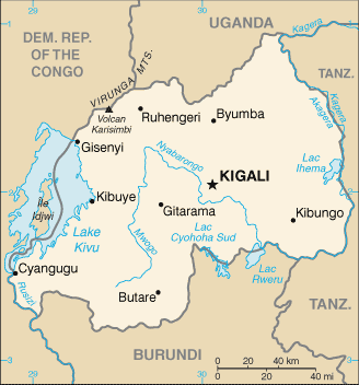
Neighbouring Countries – Democratic Republic of the Congo, Uganda, Tanzania, Burundi
Population – 12,661,733 (2015 estimate)
Population Growth Rate – 2.56%
Average Life Expectancy – 59.67
Capital City – Kigali (1,257,000)
Highest Mountain – Volcan Karisimbi (4,519m)
Longest River – Nyabarongo (142 km)
Climate – Tropical – Hot all year 15°C to 28°C
Yearly Rainfall – 95 cm (approx) mostly September to May
Plant Life – savannah grasslands, eucalyptus, acacia, wetland plants
Animal Life – elephants, hippopotamuses, buffalo, cheetahs, lions, zebras, leopards, monkeys, gorillas, jackals, hyena, wild boar, antelope, flying lemurs, crocodiles
Bird Life – guinea hens, partridges, ducks, geese, quail, and snipe
Harvard Reference for this page:
Heather Y Wheeler. (2015). Rwanda. Available: https://www.naturalhistoryonthenet.com/Facts_Figures/Country_Facts/rwanda.htm. Last accessed Tuesday, July 19, 2016
Facts and Figures Pages