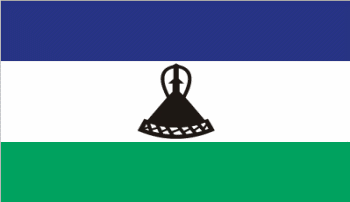
Lesotho
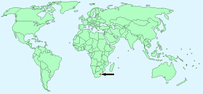
Continent – Africa
Region – Southern Africa
Size – 30,355 km²
Geography – high land with plateaux
Language – Sesotho (official), English (official), Zulu
Religion – Christian 80%, other 20%
Monetary Unit – Lesotho loti
Natural Resources – water, agricultural land, diamonds, sand, clay, building stone
Agriculture – corn, wheat, pulses, sorghum, barley; livestock
Industry – food, beverages, textiles, apparel assembly, handicrafts, construction, tourism
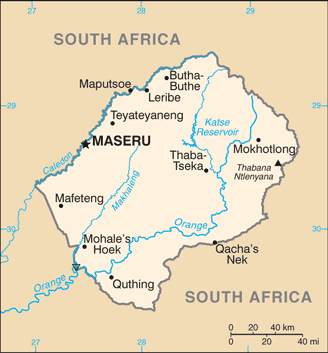
Neighbouring Countries – South Africa
Population – 1,942,008 (2014 estimate)
Population Growth Rate – 0.34%
Average Life Expectancy – 52.65
Capital City – Maseru (239,000)
Highest Mountain – Thabana Ntlenyana (3,482m)
Longest River – Orange (2,200 km in South Africa, Lesotho and Namibia)
Climate – Temperate – cool winters – 0°C to 13°C and warm summers 12°C to 24°C
Yearly Rainfall – 45 cm (approx) mostly November to March
Plant Life – Few trees, grasses, alpine plants
Animal Life – Rhebok, mountain reedbuck, eland, baboons, jackal, mongoose, meerkat, rock hyraxes, snakes
Bird Life – 300 species including orange-breasted rockjumper, the sentinel rock-thrush, drakensberg siskin, bearded vulture, black eagle, bald ibis
Harvard Reference for this page:
Heather Y Wheeler. (2015). Lesotho. Available: https://www.naturalhistoryonthenet.com/Facts_Figures/Country_Facts/lesotho.htm. Last accessed Monday, July 18, 2016
Facts and Figures Pages