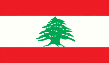
Lebanon
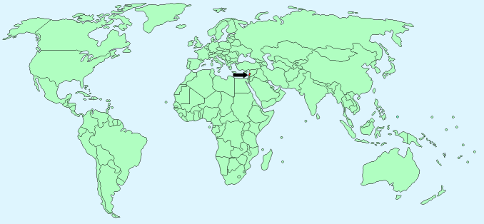
Continent – Asia
Region – Western Asia, Middle East
Size – 10,400 km²
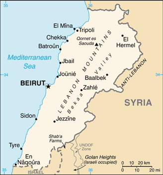
Geography – rugged land with narrow coastal plain
Language – Arabic (official), French, English
Religion – Muslim 54%, Christian 40.5%, other 5.5%
Monetary Unit – Lebanese pound
Natural Resources – limestone, iron ore, salt, water-surplus state in a water-deficit region, arable land
Agriculture – citrus, grapes, tomatoes, apples, vegetables, potatoes, olives, tobacco; sheep, goats
Industry – banking, tourism, food processing, wine, jewelry, cement, textiles, mineral and chemical products, wood and furniture products, oil refining, metal fabricating
Neighbouring Countries – Syria, Israel
Population – 5,882,562 (2014 estimate)
Population Growth Rate – 9.37%
Average Life Expectancy – 77.22
Capital City – Beirut (2,022,000)
Highest Mountain – Qornet es Saouda (3,088m)
Longest River – Litani (140 km)
Climate – Mediterranean – mild winters – 5°C to 15°C and hot summers 20°C to 30°C
Yearly Rainfall – 90 cm (approx) mostly November to March
Plant Life – Olive, fig trees, grapevines, cedar, maple, juniper, fir, cypress, valonia oak, and Aleppo pine trees
Animal Life – jackals, gazelles, rabbits, mice, squirrels, gerbils
Bird Life – Thrushes, nightingales, partridges, pigeons, vultures, and eagles.
Harvard Reference for this page:
Heather Y Wheeler. (2015). Lebanon. Available: https://www.naturalhistoryonthenet.com/Facts_Figures/Country_Facts/lebanon.htm. Last accessed Monday, July 18, 2016
Facts and Figures Pages