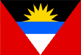
Antigua & Barbuda
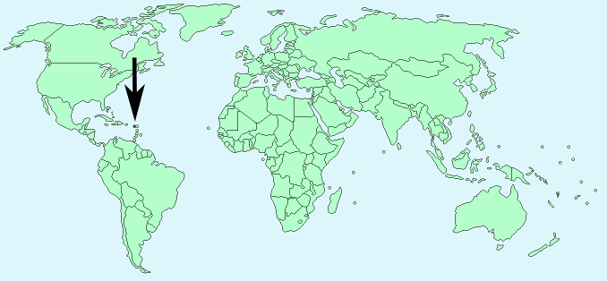
Continent – North America
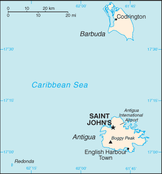
Region – Caribbean
Size – 442 km²
Geography – Mostly low lying islands
Language – English
Religion – Christian – Anglican, Protestant, Roman Catholic
Monetary Unit – East Caribbean dollar
Natural Resources – Negligible
Agriculture – cotton, fruits, vegetables, bananas, coconuts, cucumbers, mangoes, sugarcane; livestock
Industry – tourism, construction, light manufacturing (clothing, alcohol, household appliances)
Neighbouring Countries – none
Population – 91,295 (2014)
Population Growth Rate – 0.5%
Average Life Expectancy – 72.4
Capital City – St John’s (population 81,799)
Highest Mountain – Boggy Peak (402 m)
Longest River – none – some small rivers only
Climate – Constant temperatures year round 21°C to 36°C
Yearly Rainfall – 160 cm approx mostly during the wet season July – November
Plant Life – Scrub, tropical plants, Palmetto and seaside mangrove, red cedar, white cedar, mahogany, whitewood, acacia, coconut, palm, tamarind, breadfruit
Animal Life – deer, wild pig, bat, donkey, goat, deer, land turtle, gecko, lizard, racer snake,
Bird Life – tropical birds, pelican, frigate bird, osprey, hummingbird, guinea fowl, pigeon and wild duck
Aquatic Life – Coral reef, humpback whale, sea turtle, barracuda, dolphin, angelfish, lobster, sea urchin, crab
Harvard Reference for this page:
Heather Y Wheeler. (2015). Antigua and Barbuda. Available: https://www.naturalhistoryonthenet.com/Facts_Figures/Country_Facts/antiguabarbuda.htm. Last accessed Tuesday, July 19, 2016
Facts and Figures Pages