The Gambia
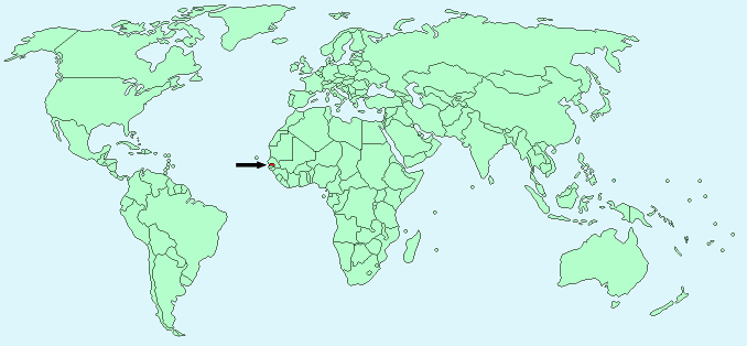
Continent – Africa
Region – Western Africa
Size – 11,300 km²
Geography – flood plain of the Gambia river
Language – English, Mandinka, Wolof, Fula
Religion – 90% Muslim, 8% Christian, 2% other
Monetary Unit -Dalasi
Natural Resources – fish, titanium, tin, zircon, silica sand, clay, petroleum
Agriculture – rice, millet, sorghum, peanuts, corn, sesame, cassava (tapioca), palm kernels; cattle, sheep, goats
Industry – processing peanuts, fish, and hides; tourism, beverages, agricultural machinery assembly, woodworking, metalworking, clothing
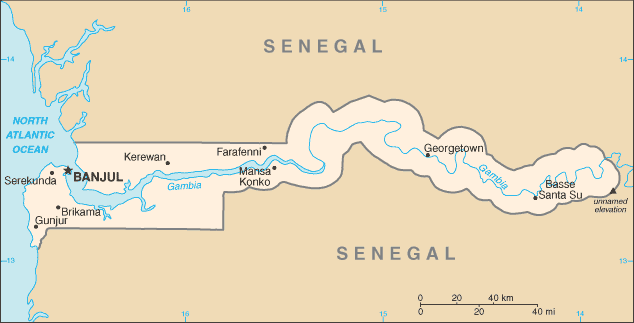
Neighbouring Countries – Senegal
Population – 1,925,527 (2014 estimate)
Population Growth Rate – 2.23%
Average Life Expectancy – 64.36
Capital City – Banjul (506,000)
Highest Mountain – unnamed location (53 m)
Longest River – Gambia (1,130 km)
Climate – June – November – topical, hot, rainy 22°C to 30°C – November – May – cooler, dry season 15°C to 30°C
Yearly Rainfall – June – November – 125 cm (approx); November – May 2 cm (approx)
Plant Life – many flowers, including yellow cassias and scarlet combretum, bougainvillea, oleander, varieties of hibiscus
Animal Life – several varieties of monkeys
Harvard Reference for this page:
Heather Y Wheeler. (2015). Gambia. Available: https://www.naturalhistoryonthenet.com/Facts_Figures/Country_Facts/gambia.htm. Last accessed Monday, July 18, 2016
Facts and Figures Pages