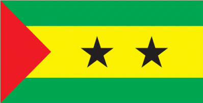
Sao Tome and Principe
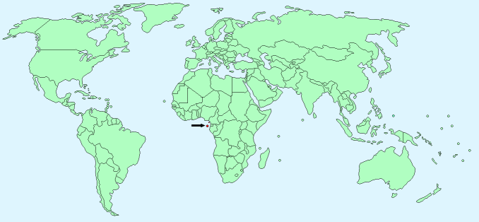
Continent – Africa
Region – Central Africa
Size – 964 km²
Geography – Volcanic, mountainous
Language – Portuguese, Forro, Cabo Verdian, French, English, Angolar
Religion – Catholic 55.7%, none 21.2%, other 24.1%
Monetary Unit – Sao Tome and Principe Dobra
Natural Resources – fish, hydropower
Agriculture – cocoa, coconuts, palm kernels, copra, cinnamon, pepper, coffee, bananas, papayas, beans; poultry; fish
Industry – light construction, textiles, soap, beer, fish processing, timber
Neighbouring Countries – None
Population – 194,006 (2015 estimate)
Population Growth Rate – 1.84%
Average Life Expectancy – 64.58
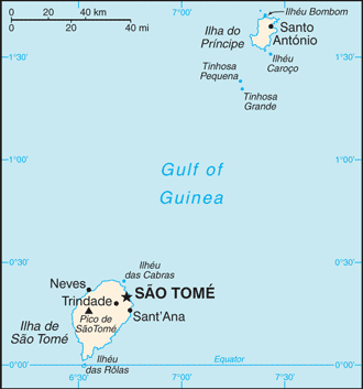
Capital City – Sao Tome (population 71,000)
Highest Mountain – Pico de Sao Tome (2,025 m)
Longest River – Io Grande
Climate – tropical – 21°C to 30°C
Yearly Rainfall – 95cm (approx) mostly October – May
Plant Life – rainforest, woodland, begonias, orchids, ferns
Animal Life – Sao Tome shrew, bats, monkey, feral pig, frogs, Sao Tome Green Snake
Bird Life – Sao Tome short-tail, Sao Tome grosbeak and Dohrn’s thrush-babbler, Giant sunbird, dwarf olive ibis, maroon pigeon, Sao Tome green pigeon
Harvard Reference for this page:
Heather Y Wheeler. (2015). Sao Tome and Principe. Available: https://www.naturalhistoryonthenet.com/Facts_Figures/Country_Facts/sao_tome_and_principe.htm. Last accessed Tuesday, July 19, 2016
Facts and Figures Pages