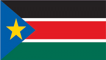
South Sudan
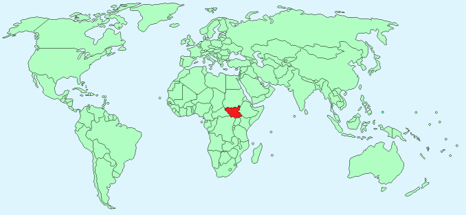
Continent – Africa
Region – Eastern Africa
Size – 644,329 km²
Geography – northern and central plains, southern highlands, Sudd wetlands
Language – English, Arabic, other dialects
Religion – Animist, Christian
Monetary Unit – South Sudanese Pound
Natural Resources – hydropower, fertile agricultural land, gold, diamonds, petroleum, hardwoods, limestone, iron ore, copper, chromium ore, zinc, tungsten, mica, silver
Agriculture – sorghum, maize, rice, millet, wheat, gum arabic, sugarcane, mangoes, papayas, bananas, sweet potatoes, sunflower seeds, cotton, sesame seeds, cassava, beans, peanuts, cattle, sheep
Industry – no notable industry
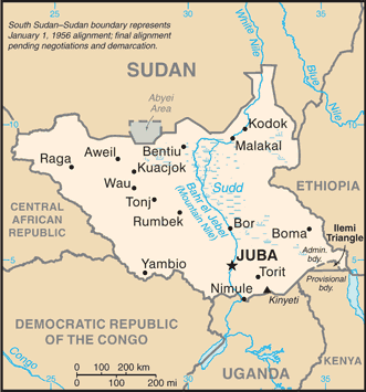
Neighbouring Countries – Sudan, Ethiopia, Kenya, Uganda, Democratic Republic of the Congo, Central African Republic
Population – 12,042,910 (2015 estimate)
Population Growth Rate – 4.02%
Average Life Expectancy – 54.64
Capital City – Juba (321,000)
Highest Mountain – Kinyeti (3,187 m)
Longest River – The Nile 716 km in South Sudan
Climate – tropical, hot all year 20°C to 37°C
Yearly Rainfall – 94 cm (approx) mostly April to October
Plant Life – acacia, desert scrub, grasses, palm trees,
Animal Life – elephant, pangolins, antelope, chimpanzees, golden cat
Bird Life – black crowned crane, pink backed pelican, cattle egret, saddle billed stork,
Harvard Reference for this page:
Heather Y Wheeler. (2016). South Sudan. Available: https://www.naturalhistoryonthenet.com/Facts_Figures/Country_Facts/south_sudan.htm. Last accessed Tuesday, July 19, 2016
Facts and Figures Pages