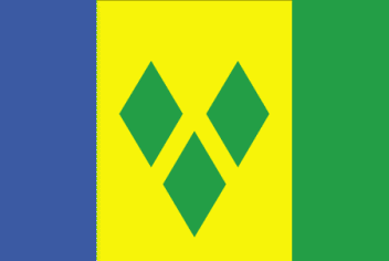
Saint Vincent and the Grenadines
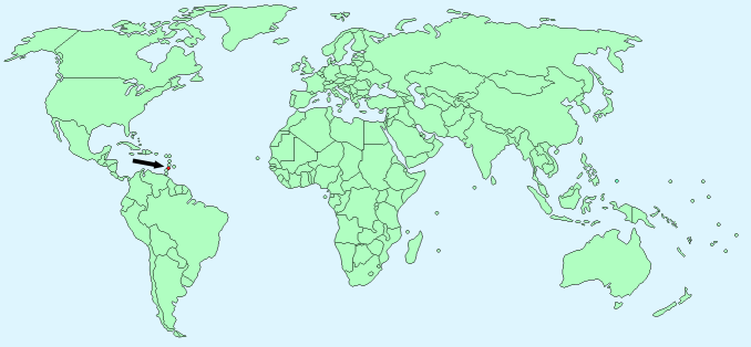
Continent – North America
Region – Caribbean
Size – 389 km²
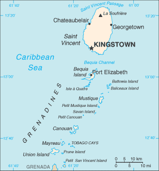
Geography – collection of volcanic, mountainous islands
Language – English, French patois
Religion – Protestant 75%, Roman Catholic 13%, other 12%
Monetary Unit – East Caribbean dollar
Natural Resources – hydropower, arable land
Agriculture – bananas, coconuts, sweet potatoes, spices; small numbers of cattle, sheep, pigs, goats; fish
Industry – tourism; food processing, cement, furniture, clothing, starch
Neighbouring Countries – None
Population – 102,627 (2015 estimate)
Population Growth Rate -0.28%
Average Life Expectancy – 75.09
Capital City – Kingstown (27,000)
Highest Mountain – La Soufriere (1,234 m)
Longest River – Colonarie River
Climate – tropical, hot, 25°C to 37°C
Yearly Rainfall – 230 cm mostly May to December
Plant Life – breadfruit, guaiac tree, mangosteen fruit tree
Animal Life – iguana, St. Vincent black snake
Bird Life – Caribbean eleania, trembler, bananaquit, Antillean crested hummingbird, St Vincent parrot, black hawk, cocoa thrush, red-capped green tanager, green heron
Marine Life – lobster, conch, turtles, whales, great white shark, dolphins
Harvard Reference for this page:
Heather Y Wheeler. (2015). Saint Vincent and the Grenadines. Available: https://www.naturalhistoryonthenet.com/Facts_Figures/Country_Facts/saint_vincent_and_the_grenadines.htm. Last accessedTuesday, July 19, 2016
Facts and Figures Pages