Pakistan
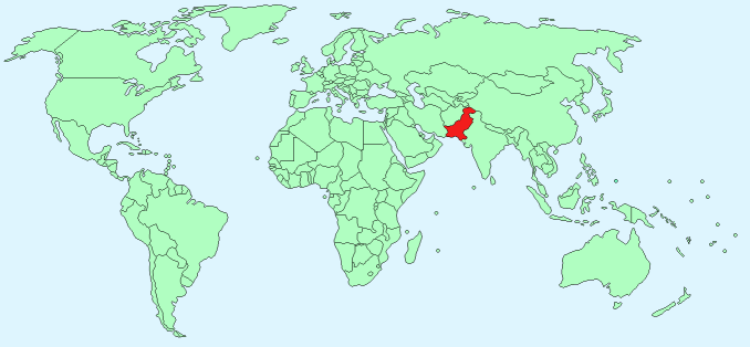
Continent – Asia
Region – Southern Asia
Size – 796,095 km²
Geography – flat eastern plain, mountainous north, plateau in west
Language – Punjabi, Sindhi, English, other dialects
Religion – Muslim – 96.4% other 3.4%
Monetary Unit – Pakistani rupee
Natural Resources – arable land, extensive natural gas reserves, limited petroleum, poor quality coal, iron ore, copper, salt, limestone
Agriculture – cotton, wheat, rice, sugarcane, fruits, vegetables; milk, beef, mutton, eggs
Industry – textiles and apparel, food processing, pharmaceuticals, construction materials, paper products, fertilizer, shrimp
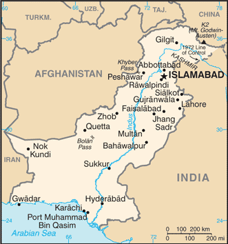
Neighbouring Countries – Afghanistan, China, India, Iran
Population – 199,085,847 (2015 estimate)
Population Growth Rate – 1.46%
Average Life Expectancy – 67.39
Capital City – Islamabad (population 1,365,000)
Largest City – Karachi (population 16,618,000)
Highest Mountain – K2 (Mt. Godwin-Austen) (8,611 m)
Longest River – Indus (3,200 km in India, China, Pakistan)
Climate – Warm winters – 15°C to 26°C and hot summers 22°C to 32°C
Yearly Rainfall – 25 cm approx mostly monsoon season July – September
Plant Life – Spruce, pine, cedar, mangrove, juniper, tamarisk, coarse grasses, scrub plants, coconut, date
Animal Life – mongooses, civets, hares, jackal, pandolin, jungle cat, wild boar, deer, porcupine, hyenas, leopard,
Bird Life – 650+ bird species including – Crows, sparrows, mynas, hawks, falcons, and eagles
Harvard Reference for this page:
Heather Y Wheeler. (2015). Pakistan. Available: https://www.naturalhistoryonthenet.com/Facts_Figures/Country_Facts/pakistan.htm. Last accessed Tuesday, July 19, 2016
Facts and Figures Pages