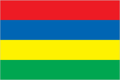
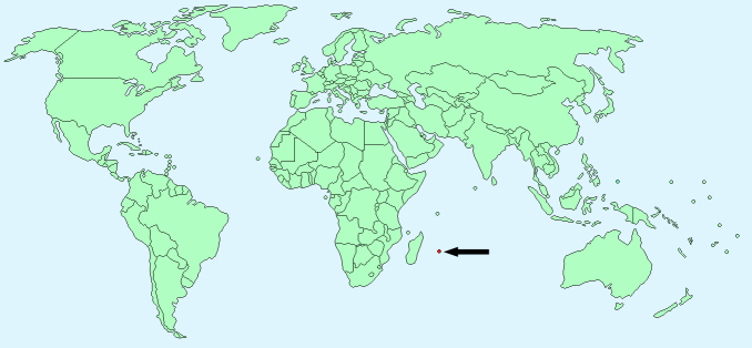
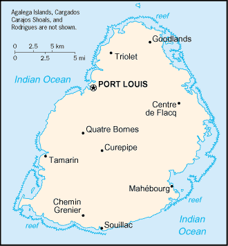
Mauritius


Continent – Africa
Region – South
Size – 2040 km²
Geography – coastal plain, mountains with central plateau
Language – Creole 86.5%, Bhojpuri 5.3%, French 4.1%, other 4.1%
Religion – Hindu 48.5%, Roman Catholic 26.3%, Muslim 17.3%, other Christian 6.4%, other 1.5%
Monetary Unit – Mauritian rupee
Natural Resources – arable land, fish
Agriculture – sugarcane, tea, corn, potatoes, bananas, pulses; cattle, goats; fish
Industry – sugar milling, textiles, clothing, mining, chemicals, metal products, transport equipment, nonelectrical machinery, tourism

Neighbouring Countries – None
Population – 1,331,155 (2014 estimate)
Population Growth Rate – 0.66%
Average Life Expectancy – 75.17
Capital City – Port Louis (135,000)
Highest Mountain – Mont Piton (828m)
Longest River – Grand River (40 km)
Climate -maritime- hot summers 24°C – 30°C, warm winters 17°C – 20°C
Yearly Rainfall – 130 cm (approx) mostly December to April
Plant Life – original rainforest has mostly been destroyed, about 600 native species of flowers
Animal Life – black-spined Flying fox, gecko, no other native animals
Bird Life – Mauritius grey white-eye, Mauritius kestrel, Mauritius parakeet and pink pigeon
Fish Life – guppies, swordtail, carp, gourami,
Harvard Reference for this page:
Heather Y Wheeler. (2015). Mauritius. Available: https://www.naturalhistoryonthenet.com/Facts_Figures/Country_Facts/mauritius.htm. Last accessed Tuesday, July 19, 2016
Facts and Figures Pages
