Iraq
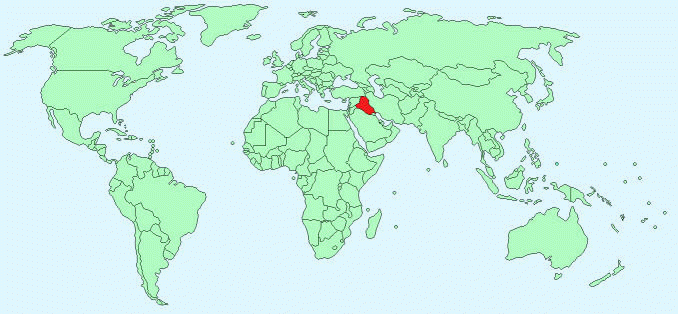
Continent – Asia
Region – Western Asia
Size – 438,317km²
Geography – broad plains, marshland to east and south, northern mountains
Language – Arabic (official), Kurdish, Turkoman, Assyrian, Armenian
Religion – Muslim 97%, Christian or other 3%
Monetary Unit – Iraqi Dinar
Natural Resources – petroleum, natural gas, phosphates, sulphur
Agriculture – wheat, barley, rice, vegetables, dates, cotton; cattle, sheep, poultry
Industry – petroleum, chemicals, textiles, leather, construction materials, food processing, fertilizer, metal fabrication/processing
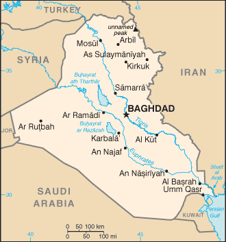
Neighbouring Countries – Iran, Jordan, Kuwait, Saudi Arabia, Syria, Turkey
Population – 32,585,692 (2014 estimate)
Population Growth Rate – 2.23%
Average Life Expectancy – 71.42 years
Capital City – Baghdad (6,554,126)
Highest Mountain –unnamed peak; (3,611m)
Longest River -Euphrates (2,800km – 1,060 through Iraq)
Climate -mostly desert; mild to cool winters 0°C to 6°C with dry, hot summers 23°C to 43°C
Yearly Rainfall – 45 cm (approx) mostly November to April
Plant Life – papyrus, lotus, tall reeds, willow, poplar, alder, liquorice
Animal Life – hyena, jackal, fox, gazelle, antelope, jerboa, mole, porcupine, desert hare, and bat
Bird Life – wild ducks, geese, partridge, vultures, owls, and ravens
Harvard Reference for this page:
Heather Y Wheeler. (2015). Iraq. Available: https://www.naturalhistoryonthenet.com/Facts_Figures/Country_Facts/iraq.htm. Last accessed Monday, July 18, 2016
Facts and Figures Pages