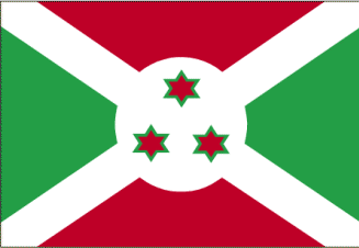
Burundi
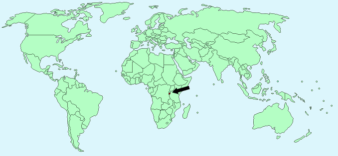
Continent – Africa
Region – Southern Africa
Size – 27,830 km²
Geography – Mountainous with eastern plateau
Language – Kirundi, French, Swahili
Religion – 62% Roman Catholic, 23% tribal religions, 10% Islam, 5% Protestant
Monetary Unit – Burundi Franc
Natural Resources – nickel, uranium, rare earth oxides, peat, cobalt, copper, platinum, vanadium, niobium, tantalum, gold, tin, tungsten, kaolin, limestone
Agriculture – coffee, cotton, tea, corn, sorghum, sweet potatoes, bananas, manioc (tapioca); beef, milk, hides
Industry – light consumer goods such as blankets, shoes, soap; assembly of imported components; public works construction; food processing
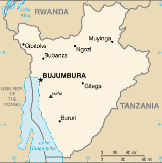
Neighbouring Countries – Rwanda, Tanzania, Democratic Republic of the Congo
Population – 10,395,931 (2014 estimate)
Population Growth Rate – 3.59%
Average Life Expectancy – 51.29
Capital City – Bujumbura (population 497,166)
Highest Mountain – Heha (2,670 m)
Climate – Moderate temperatures all year – 17°C to 30°C, rainy seasons February-May and September-November
Yearly Rainfall – 90 cm (approx)
Plant Life – grassland, eucalyptus, acacia, fig, and oil palms
Animal Life – elephant, hippopotamus, crocodile, wild boar, lion, antelope, and flying lemur
Bird Life – more than 450 species including guinea fowl, partridge, duck, geese, quail, snape, crowned crane
Harvard Reference for this page:
Heather Y Wheeler. (2015). Burundi. Available: https://www.naturalhistoryonthenet.com/Facts_Figures/Country_Facts/burundi.htm. Last accessed Monday, July 18, 2016
Facts and Figures Pages