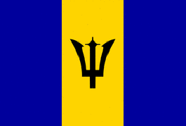
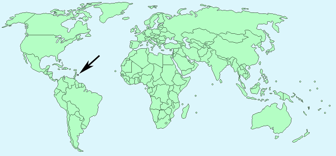
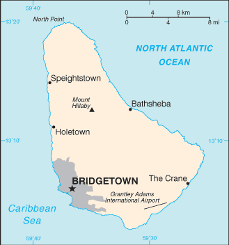
Barbados


Continent – North America
Region – Caribbean
Size – 431 km²
Geography – Mostly flat central highland region
Language – English
Religion – 67% Protestant, 17% no religion, 4% Roman Catholic, 12% other
Monetary Unit – Barbadian dollar
Natural Resources – petroleum, fish, natural gas
Agriculture – sugarcane, vegetables, cotton
Industry – tourism, sugar, light manufacturing, component assembly for export

Neighbouring Countries – None island
Population – 289,680 (2014)
Population Growth Rate – 0.3%
Average Life Expectancy – 73
Capital City – Bridgetown (population 110,000)
Highest Mountain – No mountains – highest point Mount Hillaby (336 m)
Longest River – No major rivers
Climate – Constant temperatures year round 21°C to 31°C
Yearly Rainfall – 130 cm approx mostly during hurricane season – July to November
Plant Life – Palm, casuarina, mahogany, almond, sugar cane, wild rose, carnation, lily, cactus
Animal Life – hare, monkey, mongoose, tree frog
Bird Life – finch, blackbird, and moustache bird
Aquatic Life – whale, dolphin, sea turtle, lobster, crab, prawn, oyster, snapper, marlin, sailfish, tuna, coral
Harvard Reference for this page:
Heather Y Wheeler. (2015). Barbados. Available: https://www.naturalhistoryonthenet.com/Facts_Figures/Country_Facts/barbados.htm. Last accessed Monday, July 18, 2016
Facts and Figures Pages
