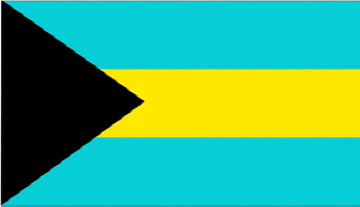
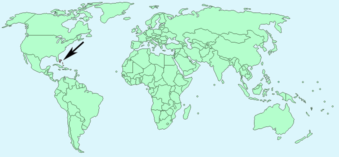
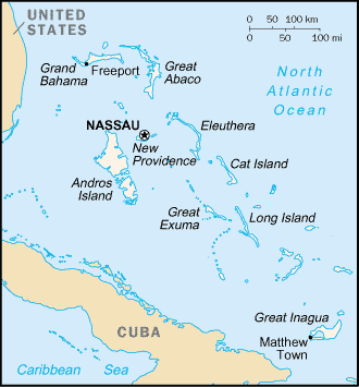
The Bahamas


Continent – North America
Region – Caribbean
Size – 13,940 km²
Geography – 700+ islands mostly flat, with some hills
Language – English, Creole
Religion – 35.4% Baptist, 15.1% Anglican, 13.5% Roman Catholic, other Christian religions
Monetary Unit – Dollar
Natural Resources – salt, aragonite, timber, arable land
Agriculture – citrus, vegetables; poultry
Industry – tourism, banking, cement, oil transshipment, salt, rum, aragonite, pharmaceuticals, spiral-welded steel pipe

Neighbouring Countries – none – island group
Population – 321,834 (2014)
Population Growth Rate – 0.6%
Average Life Expectancy – 65.6
Capital City – Nassau (population 248,948)
Highest Mountain – No mountains, highest point – Mount Alvernia (63 m)
Longest River – No major rivers
Climate – Constant temperatures year round 19°C to 31°C
Yearly Rainfall – 120 cm approx mostly during the wet season May – October
Plant Life – bull vine, wild grape, fig, bromeliad, tamarind, plum, mangrove, sugar cane, seagrape, breadfruit, pineapple, mango, banana, coconut, passion flower, honeysuckle, jasmine
Animal Life – racoon, hutia, donkey, wild boar, horse, iguana, lizard, gecko, terrapin, frog
Bird Life – flamingo, parrot, tern, frigate bird, hummingbird
Aquatic Life – whale, dolphin, sea turtle, lobster, crab, prawn, oyster, snapper, marlin, sailfish and tuna
Harvard Reference for this page:
Heather Y Wheeler. (2015). Bahamas. Available: https://www.naturalhistoryonthenet.com/Facts_Figures/Country_Facts/bahamas.htm. Last accessed Monday, July 18, 2016
Facts and Figures Pages
